


Essentials
Metrics
Select the tab below corresponding to the direction you plan to walk.
Towards Alakilise Ruins:
Towards Demre:


Handy Things to Know
The following notes are gathered from our own experiences and from feedback sent to us by other hikers. Let us know how we can improve these notes – and thanks!
Wayfinding
- Even with a GPS track, way-finding along this 3-day stretch can be challenging due to the many goat tracks that criss-cross the mountain and the constantly-changing elevation (which, given the normal margin of error on a GPS device, can sometimes make it look like you are on the trail when you might actually be above or below it). Stay extra-alert for trail markings and cairns, and check your position frequently against GPS tracks.
Water
- Water sources are unreliable – it is extremely important that you bring plenty with you, including extra to cover your needs in the event of delays (a twisted ankle, for example, could double the expected trek duration).
- It is safest to assume that no water will be available anywhere during the entire stretch between Demre and Finike, though normally Belören and Zeytin both have reliable, clean water and there are numerous cisterns that often have water (filtration needed, though).
- Most hikers seem to have no problem finding suitable water sources, especially in the springtime. However, on a remote, challenging 3-day section like this it is best to prepare for the worst. One technique is to use a ‘point of no return’ approach wherein you carry just what you feel is appropriate but that you never let yourself get into a situation where you aren’t carrying enough water to get to the next reliable water source (whether ahead of you or behind you). Whenever you encounter water sources, you’d top-up and thereby extend your ‘point of no return’. If your water dips too low, you’d immediately head to the nearest reliable source, even if that means back-tracking.
Highlights
- This section has many great views and constantly changing terrain.
- The Alakilise ruins are quite interesting.
Tips
- This section isn’t particular long at 12.5 km, but it is deceptively challenging due to the long, steep slope and the rugged terrain (in places).
- It might be worthwhile to arrange a ride / taxi to bypass the long riverbed portion to the north of Demre. You can get dropped off (or picked up) right where the Lycian Way begins its ascent (or finishes its descent, depending on which way you are walking). This is especially worth considering in really hot weather as this stretch seems to bake you…
Route Planning
- Typically, camping is required. There are no accommodation options that we are aware of between Myra and Finike.
- If you aren’t camping, you can take a dolmuş between Demre and Finike (or perhaps even Karaöz) and then continue your trek from there.
- Note: while camping is normally required it is actually possible to do some or all of this 3-day stretch without camping (and without hiking for 72 hours straight! LOL) if you are willing to put a bit of effort into arranging some logistics. See our article, Doing Demre – Finike Without Camping, for more details.
Alerts / Hazards
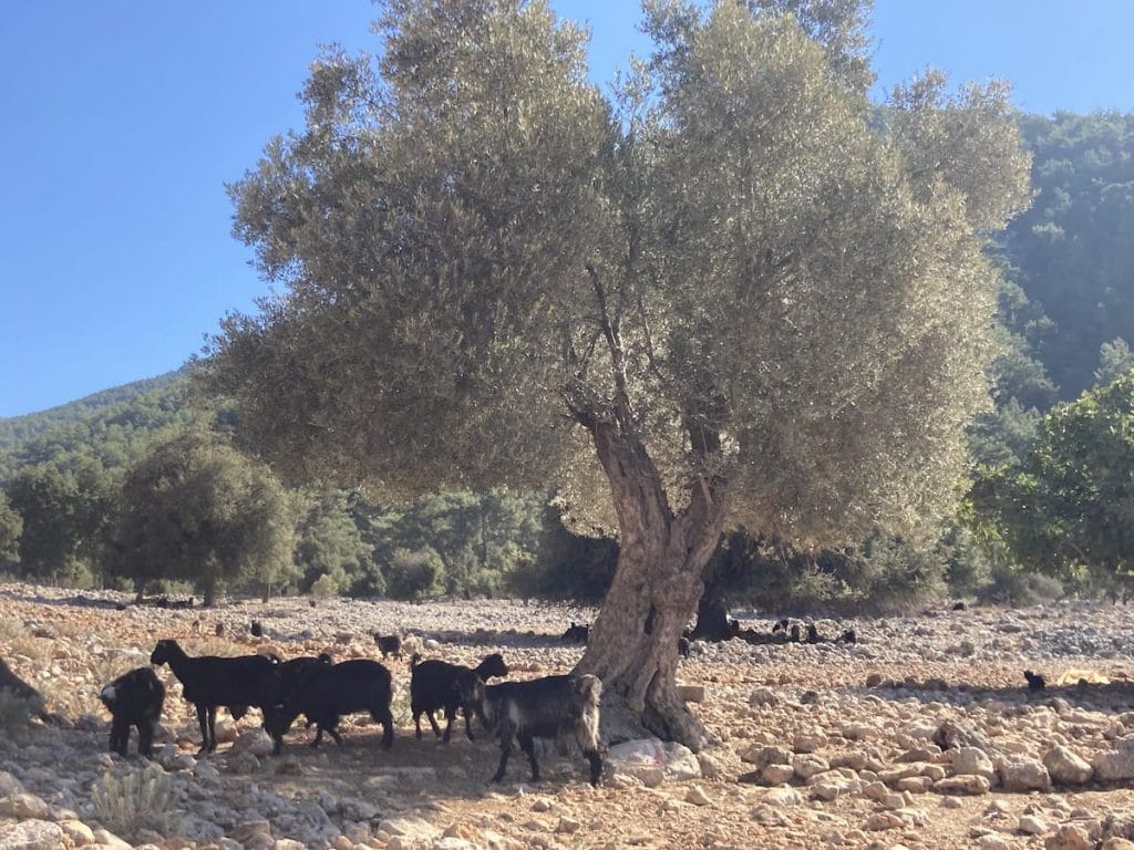
- If you find yourself starting to run low on water make an immediate detour to the nearest community and / or start looking for shepherds (who are almost always friendly and will usually share water with you if necessary). Check the map for streams or for nearby roads where you may be able to hail a vehicle. Look for any isolated dwellings. Don’t push blindly forward in the hope that the next water source will have water available.
- Between October and late-April check snow conditions on the mountain before attempting a traversal and make sure you have suitable gear. At any time of the year, check general weather forecasts and keep in mind that weather conditions can change extremely quickly on the mountain.
- There’s portions where you’ll need to hike through large scree patches on steep hillsides and across rock fields. Be suitably cautious, especially if you have a large pack.
- If you do not have experience with remote mountain hiking it may be better to bypass this portion of the trail.
Camping
- There are numerous camping spots along this section. However, take care to find yourself a suitable spot well before sunset – there are many long stretches of uneven ground. Most people camp at or near the Alakilise ruins (there is something deeply moving about camping next to an ancient church at a truly remote location 800+ m / 2,600+ ft up a mountain!).
Amenities
- While the trail passes through the village of Belören and the hamlet of Zeytin, neither have any amenities available (to our knowledge).
Attractions & Highlights
Notable highlights along the trail and at either endpoint include:
Accommodations
Here’s what we’re currently tracking for this trail section:
Wild Camping Locations
Here are the wild camping locations that we’re currently tracking along this trail section:
Water Sources
Here are the water sources that we’re currently tracking along this trail section or at either endpoint:


Pretty Pictures
Sometimes nothing beats a good photo. Or even a bad photo! If you’d like to share some or all of your photo collection with the Trekopedia community, contact us at photos@trekopedia.com and we can arrange a transfer of them. And thanks!
All photos are copyright by their respective owners and are used with permission.


How You Can Help
Trail research is never actually done. Here’s some of what we’re looking for:
✅ More photos! Ideally with geo-location information in the metadata. In addition to using some photos on Trekopedia, we add them to our internal reference database which significantly helps us with trail research. The more photos, the better! If you are willing to share your collection with us, we’d be incredibly grateful. Let us know and we’ll arrange a transfer.
✅ Points of interest. Help us identify (and geo-locate) accommodations, attractions, restaurants, markets, trail waypoints, confusing or problematic junctions, difficult or hazardous places, water sources, and so on.
✅ Tips & recommendations. Share your thoughts with other hikers.
✅ Points of interest. Help us identify (and geo-locate) accommodations, attractions, restaurants, markets, trail waypoints, confusing or problematic junctions, difficult or hazardous places, water sources, and so on.
✅ Tips & recommendations. Share your thoughts with other hikers.
In addition to the above, please see this article for information on more general ways you can help. Thanks!