


Essentials
Metrics
Select the tab below corresponding to the direction you plan to walk.
Towards Kınık:
Towards Letoon:


Handy Things to Know
The following notes are gathered from our own experiences and from feedback sent to us by other hikers. Let us know how we can improve these notes – and thanks!
Water
- There’s a couple of reliable water fountains.
Highlights
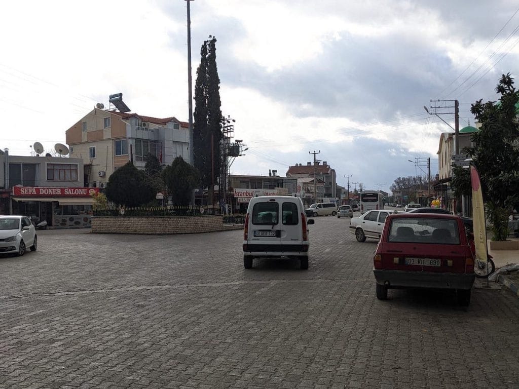
- “Hey, look! Another greenhouse!”
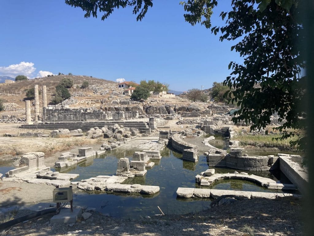
- The ruins at Letoon are quite good, though there is an admission fee to enter the site. Much of the ruins can be seen from the road as you pass.
Tips
- Hitchhiking through this section is usually very easy. Indeed, it is not unusual for cars to stop and offer a ride when they see you walking by the road. The bigger your pack, the more likely someone is going to stop and take pity on you! 🙂
Accommodations
- Very limited accommodations.
- There’s an off-route apartment-style hotel in Kumluova that we’ve heard good things about. Even further off-route is a guesthouse.
Camping
- We’re not aware of any camping spots along this section though quite often you can camp outside mosques if you ask first.
Amenities
- There are several markets along the way.
Transport
- Dolmuş service is available from many places along this section.
Attractions & Highlights
Notable highlights along the trail and at either endpoint include:
Accommodations
Here’s what we’re currently tracking for this trail section:
Wild Camping Locations
Here are the wild camping locations that we’re currently tracking along this trail section:
Water Sources
Here are the water sources that we’re currently tracking along this trail section or at either endpoint:


Pretty Pictures
Sometimes nothing beats a good photo. Or even a bad photo! If you’d like to share some or all of your photo collection with the Trekopedia community, contact us at photos@trekopedia.com and we can arrange a transfer of them. And thanks!
All photos are copyright by their respective owners and are used with permission.
How You Can Help
Trail research is never actually done. Here’s some of what we’re looking for:
✅ More photos! Ideally with geo-location information in the metadata. In addition to using some photos on Trekopedia, we add them to our internal reference database which significantly helps us with trail research. The more photos, the better! If you are willing to share your collection with us, we’d be incredibly grateful. Let us know and we’ll arrange a transfer.
✅ Points of interest. Help us identify (and geo-locate) accommodations, attractions, restaurants, markets, trail waypoints, confusing or problematic junctions, difficult or hazardous places, water sources, and so on.
✅ Tips & recommendations. Share your thoughts with other hikers.
✅ Points of interest. Help us identify (and geo-locate) accommodations, attractions, restaurants, markets, trail waypoints, confusing or problematic junctions, difficult or hazardous places, water sources, and so on.
✅ Tips & recommendations. Share your thoughts with other hikers.
In addition to the above, please see this article for information on more general ways you can help. Thanks!